Taxi from Clay Avenue to Antun’s
Ride fare estimates for taxi from Clay Avenue to Antun’s. Keep in mind that the route your driver selects may vary based on factors such as the time of day, and traffic conditions.
Taxi Route Fare Estimates
Distance and Time Taken is based on the most efficient taxi route we've calculated for traveling from Clay Avenue to Antun’s. The estimated taxi fare is also derived from this route, taking into consideration factors such as time, distance, popular destinations, and area density.
-

-

-

Important: Please keep in mind that all the taxi fares presented here are estimates and may not accurately reflect variations due to factors such as geography, traffic congestion, or other variables.
Available Ride Options
Here are some ride options to consider for your ride from Clay Avenue to Antun’s.
The least expensive option is Standard. It is estimated to cost around $68.94 and should take approximately 24 minutes.
These options cater to different preferences, so you can choose the one that best suits your needs and budget.
-
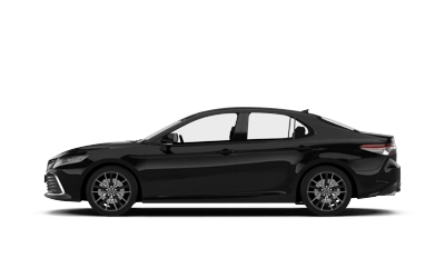
Standard
Affordable rides, all to yourself.UberX, Lyft
-
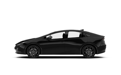
Green
Electric and hybrid vehicles -
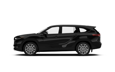
XL
Affordable rides for groups up to 6.UberXL, LyftXL
-
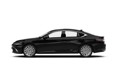
Black
High-end rides with professional drivers
Route Map Overview
You can see the taxi route from Clay Avenue to Antun’s on the map below. This specific route has been used to calculate the distance, duration and the corresponding taxi fare.
In order to make it easier for you to find the starting point of your trip, we've marked it with a red marker at Clay Avenue.
On the other hand, the blue marker indicates the final destination, which is Antun’s.
Get estimate taxi price from surrounding areas: Concourse, Bronx NY, Washington Heights, Manhattan NY, Bronx NY, Belmont, Bronx NY, Mott Haven, Bronx NY.
Frequently asked questions
Popular fare estimates:
Routes with estimated time, distance, and taxi prices
- Clay Avenue to Antun’s (~ 15.32 miles)
- Findlay Avenue to Madison Avenue (~ 4.65 miles)
- Sheridan Avenue to University Avenue (~ 1.03 miles)
- 167th Street to East 213th Street (~ 4.20 miles)
- 1080, High Bridge, The Bronx, New York, New York, 10452, USA to 2679, Coney Island Avenue, Brooklyn, New York, New York, 11235, USA (~ 21.18 miles)
- 218th Street to LGA Terminal C/D (~ 10.17 miles)
- 218th Street to Terminal 5 (~ 9.71 miles)
- Mayfair Avenue to Captain Bills Restaurant (~ 28.43 miles)
- Elmont Family Health Center to Wetherole Plaza (~ 10.24 miles)
- 203-16, Bellaire, Queens, New York, New York, 11423, USA to Coleman Square, Howard Beach, Queens, New York, New York, 11414, USA (~ 8.51 miles)